The peninsula standing between Hrútafjörður and Miðfjörður is called Heggstaðanes and a line of farms lies out the peninsula on both sides. The peninsula is grassy, although wet. Highest point is on the northernmost port between the farms Heggstaðir and Bálkastaðir. Benifits from the nature have been rich throughout the ages like driftwood, eider ducks, and seal hunting. Over the middle of the peninsula lies a decent road and nature is diverse and rich all around. Seals lie on stones and on the tip of the peninsula are rich seabird nesting areas. Cormorants frequent to reefs around the northern part of Heggstaðanes.

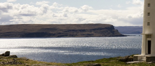
Hvammstangi and Þrælsfell seen from Heggstaðanes. Photo: GMHK
Road 702 on the east side leading to Heggstaðir, or road 702 on west side to Bálkastaðir.
Because of eider duck nesting the road is closed between 15th of April and 14th of July.
Along the coast line one can find various remnants and ruins of old settlements.
10 km, around 3 hour walk. Elevation difference is 130 m.
Directions
The walk begins by the farm of Heggstaðir and one walks north to Fagravík. It is possible to walk all around the peninsula by the coast if people are experienced and not afraid of heights. Otherwise one can skip the coast and head upwards to see the cliffs and rocks where birds frequently nest both on the northern most part, and on the south east part of the peninsula. On the west side you can walk by the coast and find an old path further south. Close to Snagalækur one can head back over the peninsula to Heggstaðir and finish the circle.
It is also possible to start the hike from Bálkastaðir and park vehicles there.
